
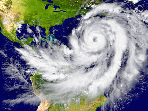
Catastrophe risk modeling firm AIR Worldwide (AIR) announced the release of its updated Tropical Cyclone and Earthquake Models for the Caribbean. These models will provide insurers and reinsurers with a comprehensive view of risk across 29 countries and territories in the region.
“The past several years have reaffirmed the vulnerability of the Caribbean to tropical cyclones and earthquakes. Hurricanes Maria and Irma (2017), Hurricane Dorian (2019), and the 2010 earthquake in Haiti devastated the countries they impacted, and the January 2020 earthquake in Puerto Rico was a more recent reminder of Caribbean seismic risk,” said Dr. Jayanta Guin, executive vice president and chief research officer, AIR Worldwide, the Boston-based subsidiary of Verisk.
“Working with local experts, AIR has been able to make innovative advancements in modeling and promote resilience in the region after observing firsthand the devastation left after significant hurricanes and earthquakes,” said Guin.
The AIR Tropical Cyclone Model for the Caribbean provides a realistic view of tropical cyclone risk and an updated stochastic catalog reflects current historical data, as well as new features and capabilities, including support for additional lines of business such as large industrial facilities, infrastructure, marine lines, a detailed view of the temporal and spatial variation of vulnerability, and high-resolution damage functions that can estimate losses even when not all the building characteristics are known.
Each country in the Caribbean has its own building practices and codes in addition to unique policy conditions. A comprehensive understanding of exposure in the region is therefore needed to accurately assess any catastrophic risk in the Caribbean, said AIR.
The updated models span the 29 countries of the Caribbean, account for the latest policy terms and conditions, and share a comprehensive 90-meter resolution industry exposure database that includes high-value exposures, such as luxury hotels and resorts.
The AIR Earthquake Model for the Caribbean also accounts for newly added sub-perils to account for tsunami inundation and liquefaction risk. Since 2010, seismometers, accelerometers, and GPS recording stations have been installed and field surveys have been performed to understand the fault geometries at work both on land and offshore, all of which has provided new data that can be leveraged to better understand the tectonic complexity of the Caribbean and more accurately model the risk in the updated AIR Earthquake Model for the Caribbean.
“Recent paleoseismological studies, marine surveys, and GPS data have provided new insights into seismicity in the region that inform a significantly updated fault model,” noted Dr. Guin. “These new fault data along with a more comprehensive understanding of the tectonics of the Caribbean region overall allow researchers to better identify faults that may rupture in multi-segment ruptures.”
In addition, recent research has revealed that ground motion from earthquakes can be amplified or dampened by as much as two- or three-times, depending on the soil type at the affected location. To capture the effects of different soil types, engineers at AIR developed detailed soil maps for the Caribbean by compiling data from many different sources, including high-resolution geological data, aerial imagery, and digital topographic data.
The AIR Tropical Cyclone and Earthquake Models for the Caribbean are available in the 2020 releases of Touchstone® and Touchstone Re catastrophe risk management systems.
Source: AIR Worldwide (AIR)
Topics Catastrophe Natural Disasters
Was this article valuable?
Here are more articles you may enjoy.
 Florida Insurance Costs 14.5% Lower Than Would Be Without Reforms, Report Finds
  Q4 Global Commercial Insurance Rates Drop 4%, in 6th Quarterly Decline: Marsh
  US Appeals Court Rejects Challenge to Trump’s Efforts to Ban DEI