
ICEYE, a provider of persistent monitoring with radar satellite imaging and flood hazard data, announced an agreement with McKenzie Intelligence Services (MIS) to provide flood hazard analysis before, during and after large-scale flood events.
The ICEYE analysis will support MIS in its delivery of property loss numbers to the Lloyd’s market via the MIS Global Events Observer (GEO) platform, the companies said in a statement.
This information will include data relating to flood depth at the individual building level across the affected areas, combining satellite imagery generated by synthetic-aperture radar (SAR) plus flood measurements from auxiliary sources, including river and tidal gauges, digital elevation models, ground sensors and watershed maps.
Critical to ICEYE’s offering is that it provides an independently verifiable, transparent, and consistent method of establishing an accurate flood depth measurement in near real-time for any location anywhere in the world, the Espoo, Finland-based company said in a statement. ICEYE can provide these services to any insurer or reinsurer globally.
MIS provides “decisions-as-a-service,” taking multiple data sources, including satellite, drone, and CCTV images, into its GEO platform to provide the insurance industry with observation-based portfolio and individual property loss estimates, allowing for automated claims processing and reporting.
The company’s core product, GEO, was developed using co-funding from the European Space Agency’s Business Applications programme. The firm collects and analyzes highly accurate, geotagged external data from a huge range of space and ground sources.
“We are delighted to be announcing our agreement with McKenzie Intelligence Services,” said Lisa Wardlaw, global head of Insurance Solutions at ICEYE.
“This partnership brings together two Lloyd’s Lab graduates, combining best-in-class observation analysis from ICEYE with the innovative ‘decisions-as-a-service’ platform GEO from MIS. By supplying ICEYE’s proprietary flood hazard data, we can enhance the services that MIS is delivering under its two-year partnership with Lloyd’s and deliver world-class satellite imagery and data to the market,” she said.
“We are very pleased to be joining forces with ICEYE on providing flood loss analysis to the Lloyd’s market,” says Forbes McKenzie, CEO of London-headquartered MIS. “Through our participation in the Future at Lloyd’s programme over the past two years, we have gained unprecedented insights into how our technology can add additional value to the whole insurance value chain. This new partnership will add further value cases for Lloyd’s syndicates and deepen our understanding of flood risks. We look forward to working with ICEYE to better serve the Lloyd’s marketplace.”
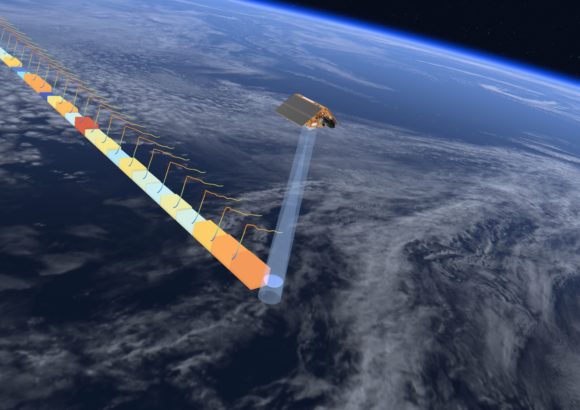
Photograph: The Sentinel-6 updates maps of the oceans covering 70% of the planet every 10 days. Credit: European Space Agency
Topics Flood
Was this article valuable?
Here are more articles you may enjoy.
 Florida’s Commercial Clearinghouse Bill Stirring Up Concerns for Brokers, Regulators
  Maine Plane Crash Victims Worked for Luxury Travel Startup Led by Texas Lawyer
  Uber Jury Awards $8.5 Million Damages in Sexual Assault Case
  AIG Underwriting Income Up 48% in Q4 on North America Commercial