Winter Storm Éowyn is gathering strength, supercharged by the Arctic blast that moved through the US, and has the potential to trigger power outages and travel disruptions across the UK later this week.
Authorities have expanded and upgraded warnings, forecasting the storm could bring heavy rain and wind gusts of 80 miles (129 kilometers) per hour to Ireland on Thursday, before moving through Northern Ireland, southern Scotland, Wales and northwest England. Gusts of 90 mph are possible in coastal areas.
“That’s the zone we’re most concerned about,” said Alex Deakin, a meteorologist with the Met Office, during a briefing Tuesday night.
The forecast wind will be strong enough to cause structural damage and bring down branches and power lines, Deakin said, and it’s expected to disrupt transportation on roads, trains and ferries. National Rail is already warning of possible disruptions over the weekend.
Ireland on Wednesday expanded red warnings for wind to cover most of the country on Friday as transportation officials warned that services would almost certainly be suspended. The Met Office also issued orange wind warnings for Friday across Northern Ireland, northern England and Scotland, and yellow alerts for most of the UK, except for London and parts of the southeast.
The storm will churn out of a low-pressure system that’s getting extra fuel from the same Arctic blast that swept across the US on Tuesday, bringing blizzard conditions to the American South, where it closed roads, airports and schools and threatened energy production.
That cold air will likely mean Éowyn brings snow to parts of the UK, with as much as 25 cm (9.8 inches) in the Scottish Highlands, the Met Office said. Snow warnings also cover most of the rest of Scotland and parts of northern England. That snow should be short-lived and quickly turn into rain, the Met Office said.
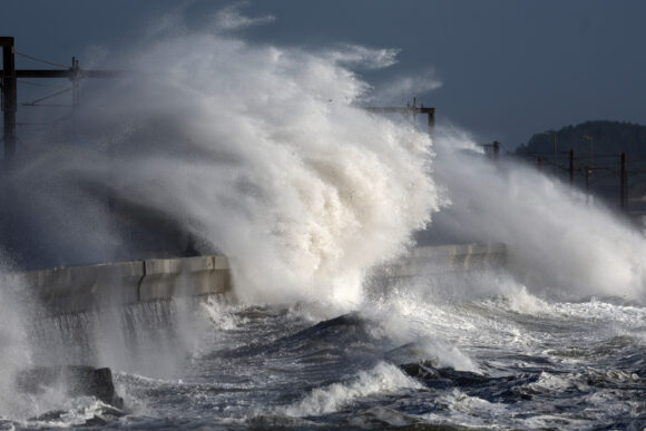
Photograph: Stormy weather in Scotland. Photo credit: Jeff J Mitchell/Getty Images
Topics Windstorm
Was this article valuable?
Here are more articles you may enjoy.


 Florida Insurance Costs 14.5% Lower Than Without Reforms, Report Finds
  AIG Underwriting Income Up 48% in Q4 on North America Commercial
  A 10-Year Wait for Autonomous Vehicles to Impact Insurers, Says Fitch
  AIG’s Zaffino: Outcomes From AI Use Went From ‘Aspirational’ to ‘Beyond Expectations’

