
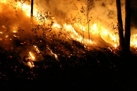
A fire official says a wildfire risk map being created by Deschutes County, the home of Bend, Oregon, underestimates fire danger because it doesn’t take into account the danger when homes catch fire in densely built suburbs.
The Bulletin reported Monday that Bend Deputy Fire Chief Bob Madden raised his concerns at a recent meeting about the risk map, which will be used to create building codes in wildfire-prone parts of Deschutes County.
The regulations were adopted by the state in January and prohibit things such as flammable roofs and require features like fire-resistant siding and ventilation covers.
Madden says the science the maps are based on is outdated because it doesn’t take into account how unpredictable fire can be once it begins burning homes in dense neighborhoods.
Was this article valuable?
Here are more articles you may enjoy.
 What Analysts Are Saying About the 2026 P/C Insurance Market
  Allstate CEO Wilson Takes on Affordability Issue During Earnings Call
  Beazley Agrees to Zurich’s Sweetened £8 Billion Takeover Bid
  Florida’s Commercial Clearinghouse Bill Stirring Up Concerns for Brokers, Regulators