July 23, 2014
More people will be required to buy flood insurance in Fargo because of a change in flood plain maps. About 2,000 homes and businesses will need insurance when the new Federal Emergency Management Association map goes into effect in January. …
July 10, 2014
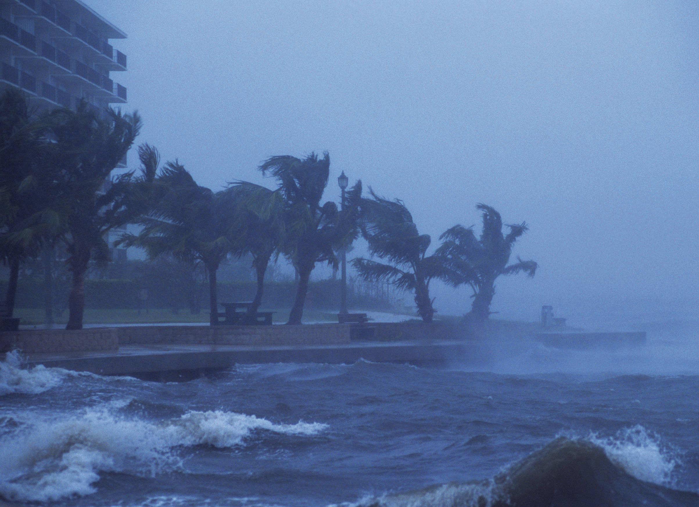
More than 6.5 million homes along the U.S. Atlantic and Gulf coasts are at risk of storm surge inundation, representing nearly $1.5 trillion in total potential reconstruction costs. More than $986 billion of that risk is concentrated within 15 major …
January 21, 2014
Some western New York residents whose homes were damaged by a snow-swollen river this month had only recently cancelled their federal flood insurance policies because of rate increases. About 70 houses in West Seneca, just outside Buffalo, flooded when a …
December 20, 2013
Members of the Massachusetts Congressional delegation, led by Congressman Bill Keating, recently sent an open letter to the Federal Emergency Management Agency (FEMA). The lawmakers argued in their letter that when FEMA established the new flood maps for Massachusetts, it …
December 1, 2013
Maine communities are criticizing new maps proposed by the federal government that show future flooding risks near the state’s coast that could impact what kind of insurance property owners must buy. The Flood Insurance Rate Maps released in November by …
August 19, 2013
In the coastal areas of Greenwich, Connecticut, the latest housing craze requires hydraulic jacks, pylons and stilts. One home towers over its neighbors like a cruise ship. Others look like expensive tree houses. “People are stopping in to ask us …
July 7, 2013
Kent County residents and leaders in Delaware are getting their first look at new flood maps and worrying about the impact on flood insurance rates. The News Journal reports that federal officials unveiled new flood maps for Kent County on …
April 15, 2013
Earlier in April, the federal government announced that it would not give grants to repair homes badly damaged by Superstorm Sandy unless the owners agreed to make sure they are in compliance with new advisory flood maps. In New Jersey, …
March 25, 2013
Since shortly after Superstorm Sandy pummeled the Jersey shore last October, homeowners up and down the coast have agonized over whether to raise their homes to survive future storms.And when the federal government issued a revised set of preliminary flood …
March 18, 2013
New Jersey’s adoption of expanded flood maps in the wake of Superstorm Sandy has put more than 33,000 additional residential buildings in flood zones, a nearly 15 percent increase.The disaster recovery plan announced last week by the Christie administration shows …