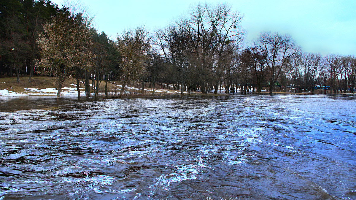
Spring Floods in U.S. Should Be Moderate Compared to Last Year: NOAA March 23, 2020 By Christina Larson Too often disasters come in threes. But the year of global pandemic and record wildfires in Australia will not also...
Why 5G Networks Could Be Bad News for Storm Forecasting June 5, 2019 By Todd Shields Satellites tracking water vapor in 2012 helped scientists accurately predict Superstorm Sandy’s frightening turn toward New York and New Jersey...
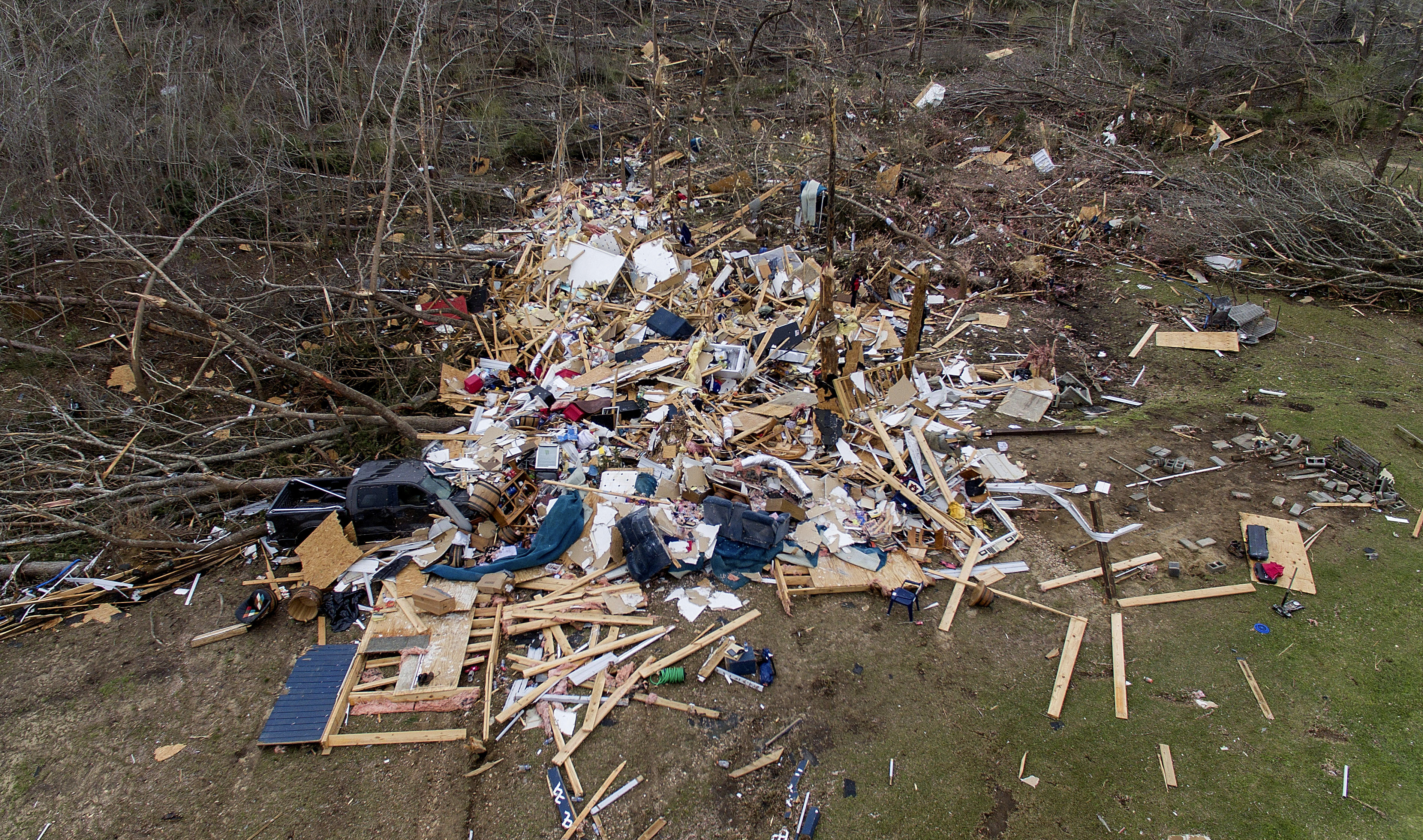
Improved Tornado Forecasting Doesn’t Prevent All Deaths March 8, 2019 By Seth Borenstein Sometimes in forecasting tornadoes, you can get everything technically right, and yet it all goes horribly wrong. Three days before...
GOES-R Satellite Promises Less Art, More Science in Storm Forecasting June 1, 2016 By Brian K. Sullivan For forecasters trying to better pinpoint the havoc of storms, the future begins next year. That’s when the test phase...
Updated AIR Hurricane Model for U.S. Features Storm Surge Module June 29, 2015 Catastrophe risk modeling firm AIR Worldwide has updated its hurricane model for the U.S. to help insurers and reinsurers better...
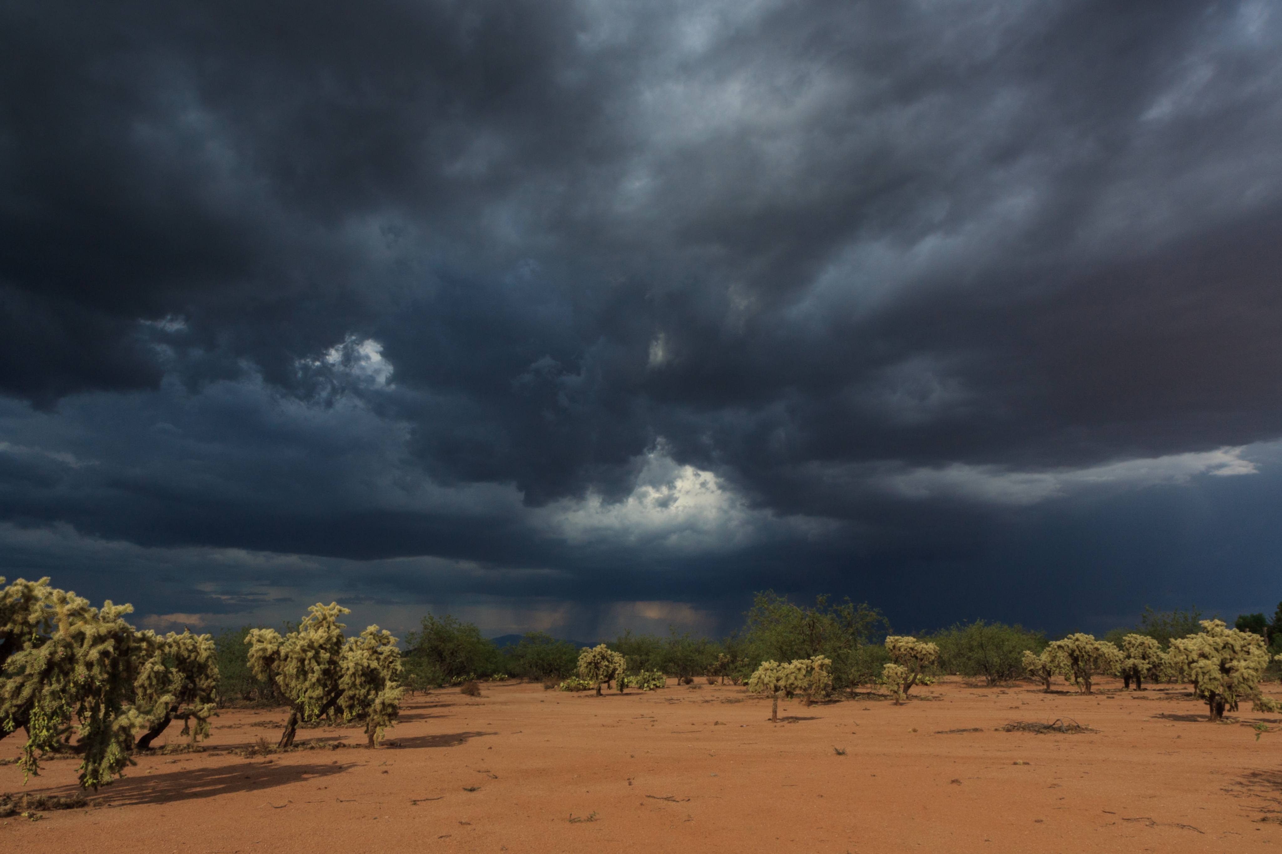
Pacific Storms Rage While Atlantic Hurricane Season Opens Quietly June 2, 2015 By Brian K. Sullivan The Atlantic hurricane season opened with empty seas and low expectations as two storms raged off the western coast of...
NOAA: Spring Flooding Risk in Western N.Y., Eastern New England March 19, 2015 According to National Oceanic and Atmospheric Administration’s (NOAA) Spring Outlook released today, rivers in western New York and eastern New...