
U.S. Army Corps of Engineers announced that the corps’ scientists and engineers launched a collaborative study on Tuesday to determine how best to reduce flood and storm damage risks for people and communities along the North Atlantic coast.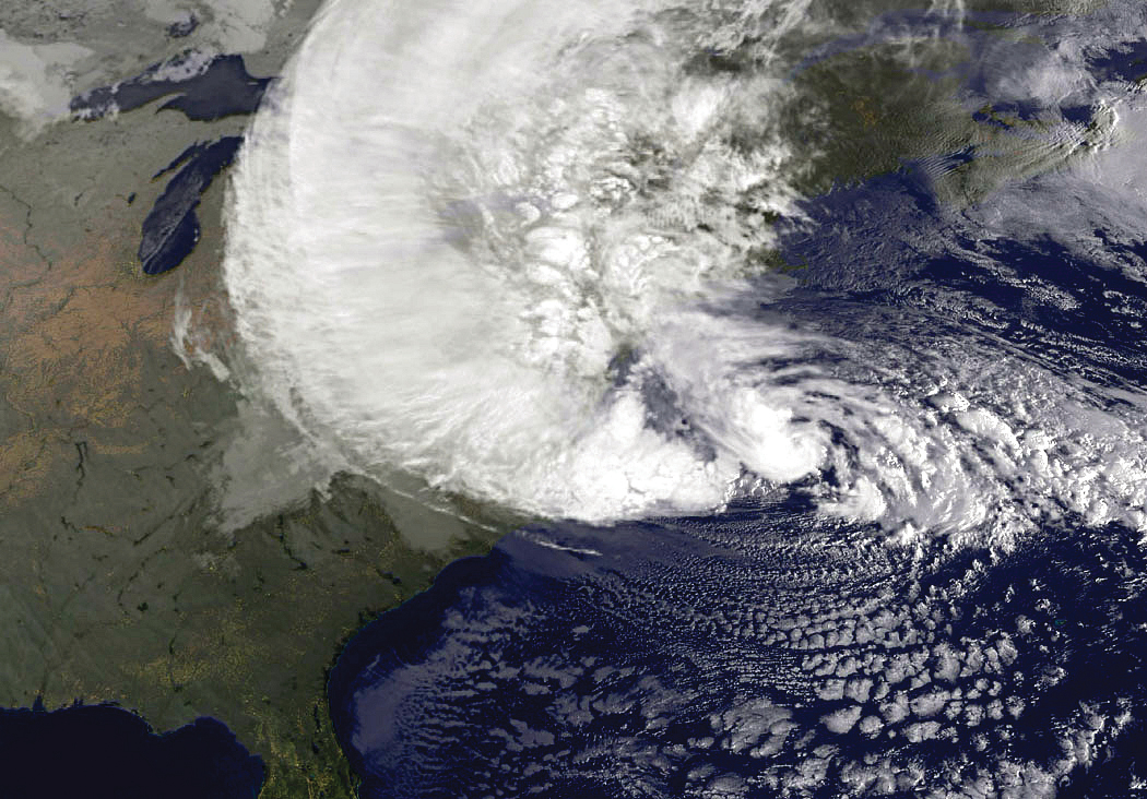
The Act authorizes up to $20 million to “… address the flood risks of vulnerable coastal populations in the areas that were affected by Hurricane Sandy within the boundaries of the North Atlantic Division of the [U.S. Army] Corps [of Engineers],” and requires completion of the study by January 2015.
While compiling the study, officially known as the North Atlantic Coast Comprehensive Study, scientists and engineers will consider future sea-level rise scenarios and integrate economic, climatological, engineering, environmental and societal data from Virginia to Maine to develop a comprehensive framework to reduce coastal flood risk and promote resiliency, said Joseph Vietri, director of the National Planning Center of Expertise for Coastal Storm Risk Management, who is leading the effort for the Corps.
According to Vietri, the study will be collaborative, comprehensive and integrated, and conducted in partnership with federal and local government representatives as well as non-government organizations, academia, technical experts and interested parties.
Source: U.S. Army Corps of Engineers
Topics USA
Was this article valuable?
Here are more articles you may enjoy.
 Florida Engineers: Winds Under 110 mph Simply Do Not Damage Concrete Tiles
  Insurance Issue Leaves Some Players Off World Baseball Classic Rosters
  Q4 Global Commercial Insurance Rates Drop 4%, in 6th Quarterly Decline: Marsh
  AIG Underwriting Income Up 48% in Q4 on North America Commercial